


IMVXR
Studios
Transforming Vision into Reality
IMVXR Studios is the immersive technology division of Smart Pulse Africa, created to help organisations transform ideas, spaces, and services into engaging digital experiences.
Immersive Innovation
Pushing the boundaries of digital interaction.
We combine virtual reality, extended reality, 3D visualisation, interactive web technology, and digital twins to help clients present, simulate, explore, and communicate their vision in entirely new ways. Our solutions are engineered to be both visually stunning and technically robust.
Virtual & Extended Reality
Immersive VR and XR experiences for property, education, tourism, training, product demonstrations, and enterprise engagement.
Digital Twins
Interactive digital replicas of buildings, infrastructure, developments, and environments for planning, monitoring, and simulation.
3D Visualisation
Photorealistic architectural renders, real-time walkthroughs, animated fly-throughs, and virtual environments.
Interactive Web Experiences
Modern 3D websites, WebXR applications, product configurators, and virtual tours that make digital engagement more meaningful.
Experience the Future
Next-Gen Digital Twins
Reality Capture
Immersive Training
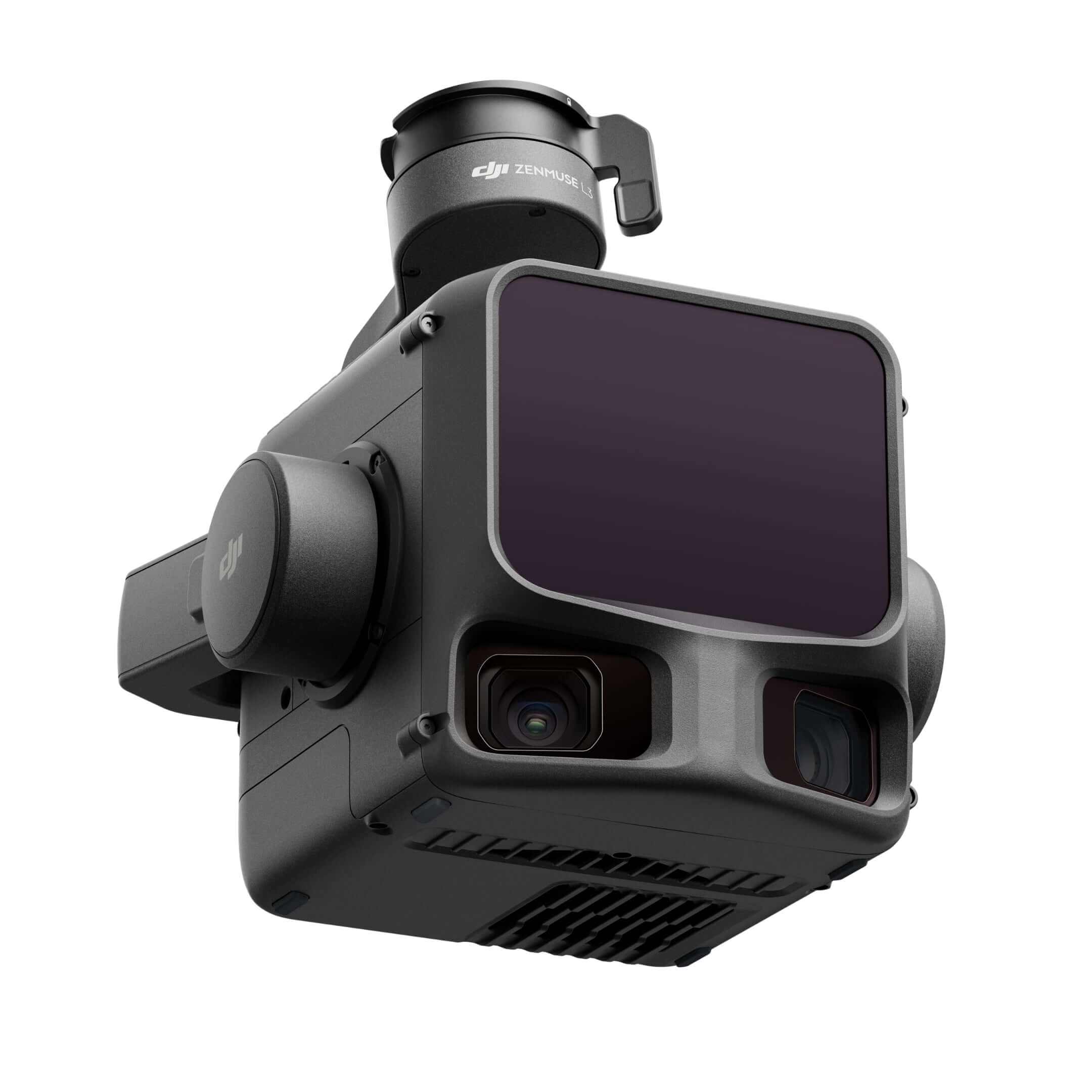
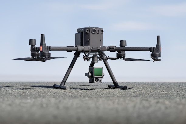
LiDAR-Powered Drone
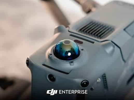
Our DJI Enterprise drones equipped with LiDAR technology capture precise 3D data for immersive digital twin creation and reality capture.
Precision Reality Capture
Our DJI Enterprise drones with integrated LiDAR sensors capture millions of data points per second, creating accurate 3D point clouds for digital twins, topographic mapping, and volumetric analysis.
LiDAR Accuracy
±1cm precision for detailed 3D mapping
Scanning Speed
Up to 240,000 points per second
360° Capture
Full spherical scanning capability
Flight Time
45 minutes per battery charge
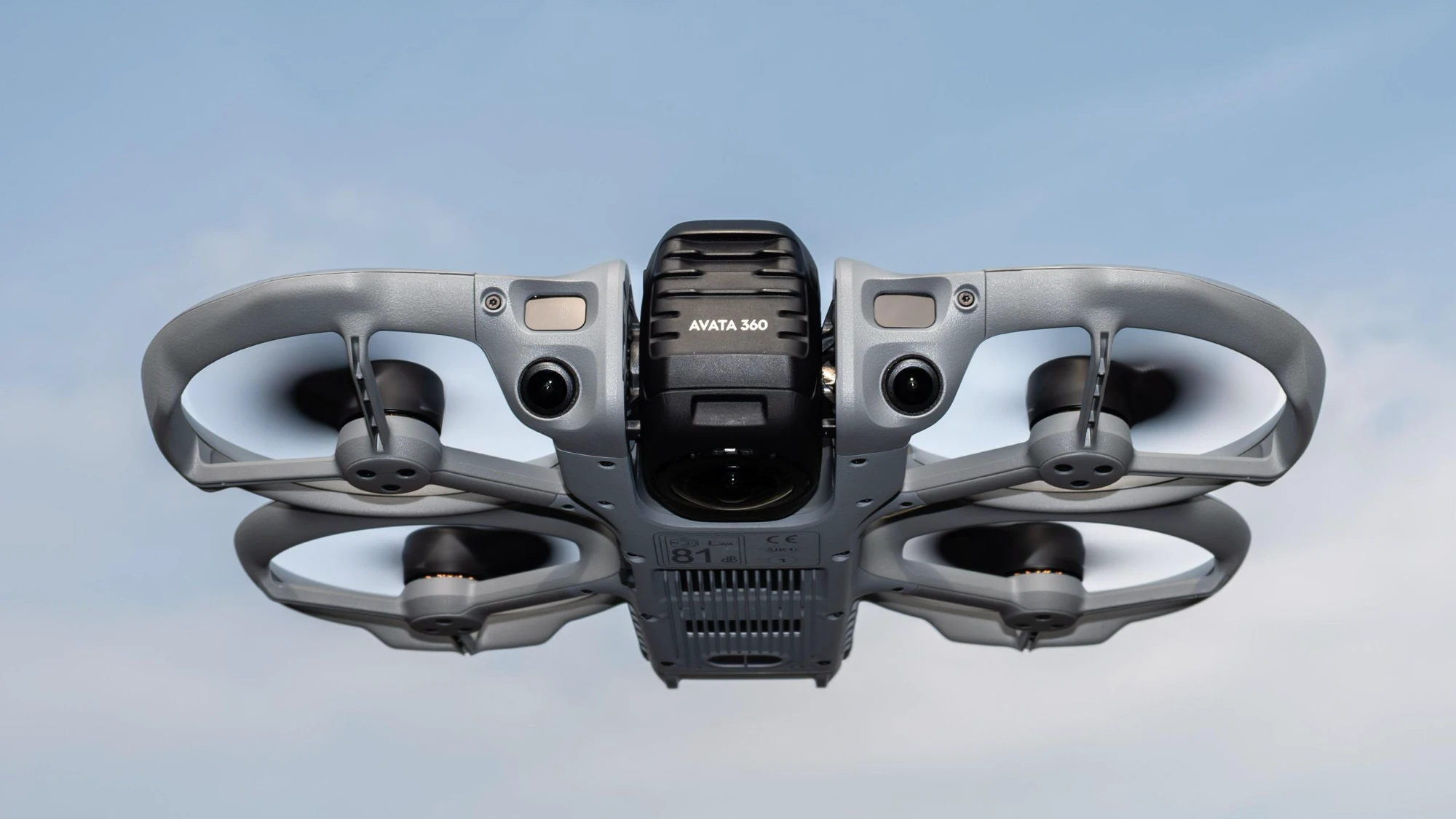
DJI Avata 360
Alongside our Matrice 350 RTK for precision LiDAR mapping, our DJI Avata 360 gives IMVXR Studios an immersive FPV platform purpose-built for 360° capture — the natural bridge between reality capture and VR content.
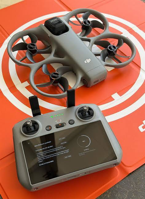
Immersive FPV, Full 360°
The Avata 360 pairs dual-lens 360° capture with agile FPV flight in a propeller-guarded frame, letting us fly through tight interiors and close to structures where a mapping drone wouldn't go — then hand off that footage directly into VR walkthroughs and immersive showcases.
360° Dual-Lens Capture
Full spherical footage in a single flight, ready for VR
Immersive FPV
Real-time first-person flight view through goggles
Propeller-Guarded
Safe for indoor and close-proximity flight
Multi-Battery Kit
Extended sessions for longer shoots
AI-Powered 3D Reconstruction
Building on our LiDAR reality-capture foundation, we're extending IMVXR Studios into AI-driven reconstruction and the emerging generation of digital twins designed for autonomous systems, not just human viewers.
AI 3D Reconstruction
Combining our drone LiDAR and imagery capture with AI reconstruction techniques, including 3D Gaussian Splatting, to produce photorealistic, interactive environments that go beyond traditional point-cloud models.
Continuously Updated Digital Twins
Moving from one-off scans toward digital twins that can be refreshed on a rolling basis as sites change, keeping asset, construction and infrastructure models current over time.
Physical AI & Autonomous Systems
Strategic advisory and systems integration for the emerging shift toward robot- and drone-usable digital twins: environments AI systems can navigate and reason about, not just view.
Built on Smart Foundations
Through Smart Pulse Africa's technology, cybersecurity, cloud, and infrastructure expertise, IMVXR Studios delivers immersive solutions supported by secure, scalable digital foundations. We ensure that your immersive experiences are not just visually stunning but also technically robust and enterprise-ready.
Smart Pulse Africa
Enterprise Technology Backbone
Powered by
Smart Pulse Africa's enterprise-grade infrastructure
Where LiDAR & XR Meet
Our integrated drone and XR capabilities enable transformative applications across multiple industries.
Construction & Engineering
Progress monitoring, volumetric analysis, and as-built documentation with millimeter precision.
Mining & Resources
Stockpile measurement, terrain mapping, and site safety inspection using drone-based LiDAR.
Real Estate & Property
Immersive virtual tours, digital twins, and interactive 3D property showcases for buyers and investors.
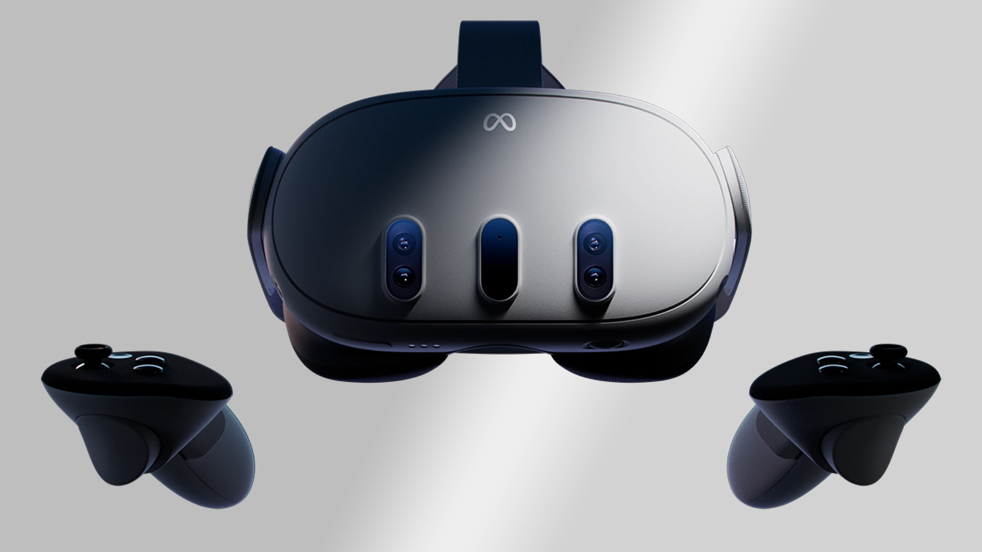
Ready to turn your vision into an immersive digital experience?
Innovation · Precision · Immersion